Editor’s note — Every year since we’ve started, we’ve shared this outdoor guide with you, both as the weather is warming up, and let you know about a number of New Year’s Day hikes that are going on, to ring in the new year. It’s a tradition in many cultures that how you spend the first day of the year will set the tone for the rest of it, and we thinking starting off with a hike in one of the many beautiful locations in our county is a good way to start. If there’s anything you know of that should be updated or added, please let us know at [email protected]!
Mendocino County Need to Know: Get outside to Mendo’s great outdoors
This guide is organized to include a general list of resources first, and then a list of parks and organizations organized by area. If you know where you’re going, you can scroll down to find the Ukiah, Willits, North County, and Anderson Valley/Coast sections.
Parks, plus general outdoor resources and organizations:
- All county-owned parks can be found here.
- There are seven county parks, and the Army Corps of Engineers manages Lake Mendocino. County walks and hikes at the MendoWalks website.
- All state parks can be found at the Mendocino Area Parks Association website, and at the California State Parks website. There are 15 state parks in Mendocino, located all over the county.
- Visitor centers are located at: the Ford House Visitor Center and Museum in Mendocino, the Greenwood Beach Visitor Center and Museum in Elk, the MacKerricher State Park Visitor Center in Fort Bragg, and the Van Damme State Park Visitor Center in Little River.
- Jackson Demonstration State Forest – the largest state-owned forest in California, there are plenty of trails here to explore. You can also go mushroom picking but get a permit first! Here’s a few of the trails to check out.
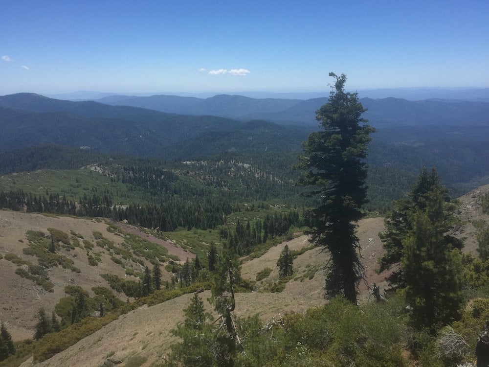
- Mendocino National Forest – biking, hiking, camping, and more! Watch out for snow and ice at higher elevations, check with the rangers for current conditions. There is an office for the Covelo Ranger at 78150 Covelo Road in Covelo, contact them at (707) 983-6118.
- Mendocino Land Trust – non-profit which focuses on land conservation and restoration in Mendocino and Lake Counties, but also has a great set of resources for outdoor lovers.
- Mendocino County Resource Conservation District – a special tax district designed to coordinate natural resource projects around the county. The MCRCD provides educational resources for landowners and outdoor enthusiasts, as well as workshops on fire safety, soil health, conservation tips, and more.
- River Gauges – there are a variety of USGS river gauges set up in Mendocino County, for which current data is provided in real time.
- University of California Hopland Research Extension Center – There are a variety of planned walks and educational programs coming up at the extension center. Call ahead to see if it is possible to walk through the grounds.
- California Native Plant Society – Sanhedrin Chapter – local chapter serving inland Mendocino and Lake Counties, holds events and meet-ups focused on native plant species, including wildflower walks and restoration projects.
- Want to know why we’re special? Here’s the species that are endemic to (which means only found in) Mendocino County.
- Current California fishing regulations, plus the California Fish and Wildlife’s fishing location guide.
- Mendocino Wildlife Association – educational activities, including wildlife first responder trainings, best practices for land management, film fests, and more.
- Eel River Recovery Project – coordinates a variety of volunteer projects tracking the watershed’s health, including river monitoring, salmonid counts, field trips, and blue–green algae monitoring.
- Dog friendly — if you want to bring the family friend with you, here’s information about dog and pet friendly lodging and dog friendly restaurants to take a break between hikes.
Ukiah area:
- City of Ukiah Parks – you can make reservations and learn about different recreational opportunities at their website.
- Cow Mountain Recreation Area – a popular off-roading spot, there’s plenty of places to hike around Cow Mountain, just east of the Talmage exit outside Ukiah.
- Low Gap Park – formerly a garbage dump on Low Gap Road in Ukiah, Low Gap park has a variety of activities for humans and dogs alike. The Ukiah Valley Trails Group has put together a great map. The City View trail gets great views but requires some more moderate climbs.
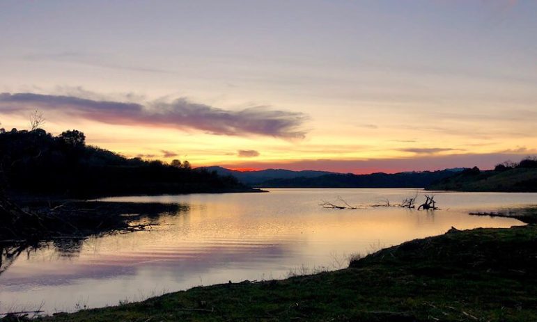
- Lake Mendocino – aside from camping, lake activities, and BBQ areas, there’s a lot to explore at Lake Mendocino, including day-use hikes and the Pomo Cultural Center.
- Lake Pillsbury – Located in the Potter Valley area of the Mendocino National Forest, there are hiking, fishing, and camping opportunities here.
- Montgomery Woods State Park – located on Orr Springs Road west of Ukiah, the park is just past Orr Hot Springs and includes a two mile trail loop with old-growth redwoods; the park is 2,743 acres and day use only.
- Ukiah Valley Trails Group – puts together maps of trails and organizes community activities such as group hikes and trail-building days in the area.
- Ukiah Bike Kitchen – currently hosting free repairs and educational events at the Ukiah Farmers Markets at Alex Thomas Plaza, Saturdays 10am – 1pm, with more activities planned for the future. Get in touch to get involved.
- Mendocino Environmental Center – located in the KMEC radio building in downtown, organizes different events and trainings.
- Orr Hot Springs – hot springs with guest houses or camping, group kitchen, massages, and trails in the area, plus day-use options and local discounts.
- Vichy Hot Springs Resort – established in 1854, the property also contains beautiful hikes for visitors.
Willits area:
- City of Willits Parks include Bud Snider Park, Redwood Grove and the Ballfields, Skate park, and dog park, all located along East Commercial Street.
- Brooktrails hiking – there’s a variety of hiking trails around Brooktrails, and the Willits Area Cyclists have been building mountain biking trails and maps.
- Little Darby – a BLM-managed area outside Willits, the park features a new environmental education area and trails with signage designed by HSU students and students at the Willits Charter School.
- Willits Environmental Hub – Consists of the Willits Environmental Center, the Mendocino Wildlife Association and the Eel River Recovery Project: lots of different ways to get involved with outdoor activities, river monitoring projects, salmon counts, wildlife first responder trainings, and much more.
Laytonville area, Covelo, Leggett, and north county:
- Cahto Peak – You can take a hike up to the unused lookout station on Cahto Peak north of Laytonville. The lookout station, opened in 1934 on the highest point along the 101, has not been staffed since 1990.
- Standish-Hickey State Recreation Area – camping, swimming, redwoods and trails, plus the Peg House across the street!
- Angelo Coast Range Reserve – 7,660 acres along the south fork of the Eel River set aside for preservation and research by the University of Berkeley. Public access is allowed for day use but please follow the instructions listed here; maps and other details are also on that page.
- Mendocino National Forest – biking, hiking, camping, and more! Watch out for snow and ice at higher elevations, check with the rangers for current conditions. There is an office for the Covelo Ranger at 78150 Covelo Road in Covelo, contact them at 707-983-6118.
- The Yolla Bolly – Middle Eel Wilderness area — part of both the Mendocino National Forest and the Siskiyou – Trinity National Forest and the headwaters of the Middle Fork of the Eel River.
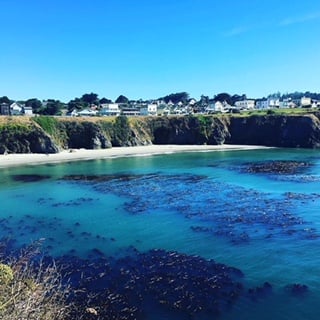
Anderson Valley and the Coast:
- Hendy Woods State Park – camp under the Redwoods near the Navarro in the Anderson Valley.
- California Coastal Trail – Pick a part and start hiking!
- Mendocino Land Trust’s guide to coastal trails, here, here and here.
- Navarro River Redwoods State Parks – located on the 128, two miles east of Highway 1 outside Albion, this park includes 660 acres of contiguous river habitat, with plenty of options for swimming, angling, canoing, kayaking, and other river recreational options. A non-profit is working on restoring two of the historic buildings in the town of Navarro.
- Greenwood State Beach – located in Elk, includes the Greenwood Beach Visitor Center and Museum, open March – November.
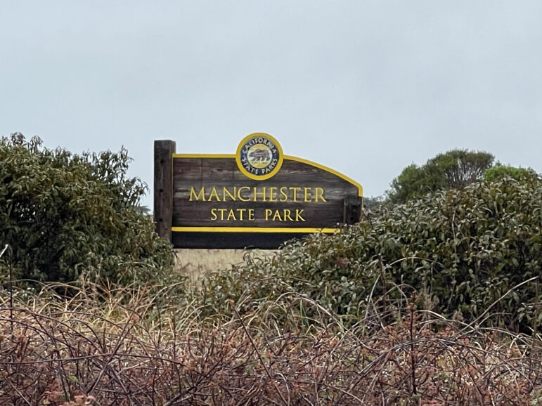
- Manchester State Park – fishing, camping, and five miles of beach near the Point Arena lighthouse.
- Pelican Bluffs Reserve and the Coastal Trail – newly completed 2.2 mile trail now open just south of Point Arena, part of a 73 acre preserve maintained by the Mendocino Land Trust, which is also hosting monthly volunteer stewardship events for the public.
- Van Damme State Park – hike through a natural wonder: pygmy trees! Plus a 9 mile loop through Fern Canyon, sea kayaking, and more. More information and trail maps here. Located in Little River, the park is also home to a MAPA visitor center.
- Mendocino Woodlands – an old logging camp near Mendocino and the home of the Mendocino Outdoor Science School, you can also make group camping reservations or swing by one of the swimming holes. More information about events at the Mendocino Woodlands Camp Association.
- Caspar Headlands State Beach – between Mendocino and Fort Bragg, a great spot to fish or catch the whale migration.
- Jug Handle State Natural Reserve – also located in Caspar, the reserve stretches three miles inland to the Jackson Demonstration State Forest, where the Ecological Staircase trail begins.
- Mendocino Headlands – a greenbelt surrounding the town of Mendocino, with chances to walk, bike, and go boating, this park also includes the Ford House Visitor Center.
- Point Cabrillo Light Station State Historic Park – lighthouse located in the town of Mendocino, where you can explore the historic buildings 365 days a year; the park also hosts a whale festival in the spring.
- Russian Gulch State Park – two miles north of the town of Mendocino, Russian Gulch is nestled beneath the Frederick W. Panhorst Bridge, and is home to the Devil’s Punchbowl, camping options, and more. There is also an electric vehicle charging station here.
- MacKerricher State Park – three miles north of Fort Bragg, this park includes the popular Glass Beach (with a new trail!), a visitor center with a 30 foot long grey whale skeleton, plenty of opportunities for camping, hiking, and horseback riding, fishing, and seal and whale watching.
- Westport-Union Landing State Beach – campgrounds, fishing, and three miles of beach in Westport, 19 miles north of Fort Bragg near Howard Creek.
- Sinkyone State Park and Usal Beach – You can hike along old-growth at the southern end of the Lost Coast and visit Usal Beach. More California State Parks in Mendocino County, including the Standish-Hickey State Park outside Leggett, can be found here to get a county-wide search.
- Mendocino Coast Botanical Gardens – These gardens contain 47 acres full of educational trails, plus a cafe and plant and gift shop. The botanical gardens host an array of different events, workshops, art shows, and holiday celebrations. Dogs are welcome on parts of the property.
- Noyo Center for Marine Science – science camps, classroom education, kelp campaigns, tide pool treks, trails, and more. The Crow’s Nest interpretative center is now open on the south Fort Bragg coastal trail.
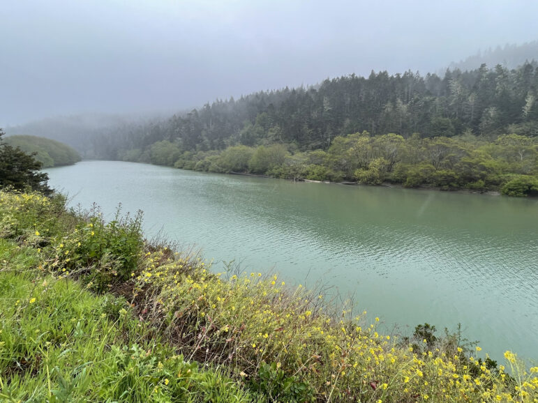
One last thing:
For your perusal, here’s a list of the Wikipedia entries for rivers, beaches, and national state and protected areas in Mendocino:
- Russian River (inland)
- Gualala River
- Garcia River
- Navarro River
- Albion River
- Little River
- Big River
- Noyo River
- Ten Mile River
- Usal Creek
- Eel River (inland)
- Big River Beach
- Caspar Headlands State Beach
- Van Damme Beach
- Greenwood State Beach
- Seaside Beach
- Westport-Union Landing State Beach
- Manchester State Beach
- Navarro Beach
- Portuguese Beach
- Schooner Gulch State Beach
- Long Valley Creek
- 10 Mile Creek
- Glass Beach
- Admiral William Standley State Recreation Area
- Caspar Headlands State Recreation Area
- Hendy Woods State Park
- Jug Handle State Reserve
- MacKerricher State Park
- Mailliard Redwoods State Reserve
- Manchester State Park
- Mendocino Coast Botanical Gardens
- Mendocino Headlands State Park
- Mendocino National Forest
- Mendocino Woodlands State Park
- Montgomery Woods State Reserve
- Navarro River Redwoods State Park
- Point Arena State Marine Reserve & Point Arena State Marine Conservation Area
- Point Cabrillo Light Station
- Reynolds Wayside Campground
- Round Valley Indian Reservation
- Russian Gulch State Park
- Saunders Reef State Marine Conservation Area
- Sea Lion Cove State Marine Conservation Area
- Sinkyone Wilderness State Park
- Smythe Redwoods State Reserve
- Standish-Hickey State Recreation Area
- Van Damme State Park


Thank you for this organized resource!
A great resource! Thank you!
Excellent resource. The Point Arena Lighthouse and adjacent Stornetta Lands are missing though.
thank you, we will add that in!