This is a developing situation and information may change. We’ll update this article as more information becomes available. The most recent information will be updated at the top of the article, with the earlier reports below.
Editor’s note: For our latest storm update for March 9, see here.
MENDOCINO Co., 3/8/23 – After weeks of heavy snow, rain and hazardous conditions, Mendocino County isn’t out of the clear as another storm brings heavy rain, wind, and flooding to the area by way of an atmospheric river. Starting Thursday, the entire county can expect treacherous road conditions and more power outages in areas already exhausted by winter weather woes.
One piece of good news is that this atmospheric river will not be as impactful as the storms that drenched the region in late December and early January. However, a second atmospheric river will arrive in Northern California Monday, Mar. 13 and Tuesday, Mar. 14 bringing more rain and possible flooding.
We’ve put together an overview of what’s to still come, and included some additional resources at the end of the article. We also have a winter weather info guide we recommend you bookmark, and information about FEMA assistance, CalFresh replacements, and other storm aid on our website.
Rain will bring up to 4 inches of rain to the county in 24 hours
According to the National Weather Service Eureka (NWS Eureka), Mendocino County could see up to 4 inches of rain Thursday morning, Mar. 9, through Friday morning, Mar. 10. The coast will see rain all day Thursday with 1.5 inches of precipitation in Fort Bragg and up to 2 inches in Point Arena. Thunderstorms will be possible late Thursday night. On Friday, showers will continue along the entire coast with up to half an inch of rain.
In northern inland Mendocino County, some areas may greet early Thursday morning with a touch of snow, including Laytonville, Covelo, and Willits. NWS Eureka anticipates less than half an inch of snow accumulation. After 7 a.m., snow will transition into rain as temperatures increase into the high 40s.
By Thursday afternoon, the entire inland region of the county can expect rain and occasional heavy downpours accumulating up to 2 inches of precipitation into Thursday night. Some areas, including Ukiah and Anderson Valley, may see thunderstorms in the evening.
Heavy showers and rain will start to dwindle starting Friday, with the evening bringing partly cloudy conditions as the atmospheric river leaves the area. Rainy, yet less impactful conditions are forecasted to continue through the weekend.
Conditions may vary widely across North Coast microclimates, and on your travel routes, so we’ve included a list of useful resources below to keep you updated. You can check for the specific forecast for your neighborhood and on current road conditions as they develop.

Heavy rain will bring the threat of flooding
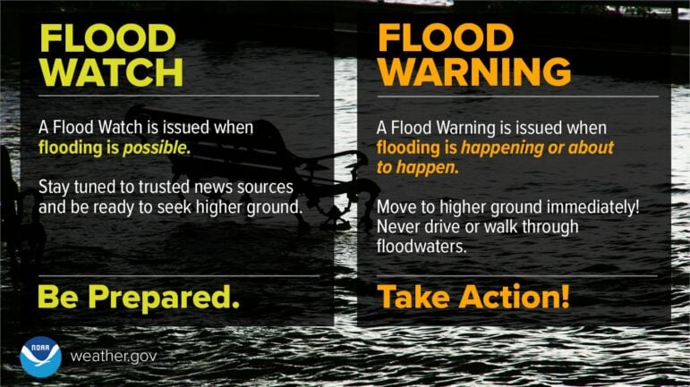
With heavy rain comes the threat of flooding and as a result, NWS Eureka has issued a flood watch for the entire county from Thursday afternoon into Friday evening. According to NWS Eureka “excessive runoff may result in flooding of rivers, creeks, streams, and other low-lying and flood-prone locations. Creeks and streams may rise out of their banks. Flooding may occur in poor drainage and urban areas.”
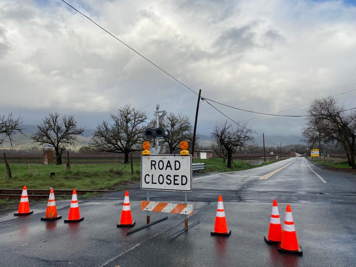
The agency expects that the Russian River in Hopland will reach flood stage just after 8 a.m. on Friday, Mar. 10, which may result in the closures of parts of State Route 175 near the junction of U.S. Highway 101. As always, the Navarro River west of Navarro and the Garcia River near Point Arena may bring flooding to low-lying areas, which may mean additional closures along State Route 128 and State Route 1.
NWS Eureka advises that drivers do not try to drive through floodwaters. All it takes is one foot of water to push a car off the road. Looking for sandbags? We have a list of sandbag stations here.
High winds could bring down trees and cause more power outages
NWS Eureka has a wind advisory in place for the entire county Thursday, starting at 6 a.m. inland and 11 a.m. on the coast through 9 p.m.as the atmospheric river is expected to bring high southeast winds. The county will see 25 to 35 mph winds with 55 to 65 mph gusts.
The high winds are expected to blow around unsecured objects, such as patio furniture. However, the greatest threat are trees. The ground across the county is already heavily saturated from rain and snow, meaning root systems may be compromised. As a result, high winds can cause tree roots to lose grounding in the soil, resulting in downed trees, according to AccuWeather senior meteorologist Alex Sosnowski. High winds can also bring down power lines and poles.
In a press release, PG&E reports that it is mobilizing personnel across Northern California because “The incoming adverse weather could result in trees, limbs and other debris falling into power lines, damaging equipment and interrupting electric service. PG&E’s meteorology department is warning of another challenge for customers and PG&E crews – flooding due to melting snow.”
Information is changing rapidly, and we’ll keep you updated on current conditions throughout the next several days. Although local agencies are preparing for the storm, emergency resources are likely to be stretched thin — if you can avoid travel, please stay off the roads for everyone’s safety.
Finally, be sure to bookmark our winter weather information guide. There are additional resources included at the bottom of the article so you can check the exact conditions in your area. Stay safe out there!
Mendocino Voice Winter weather resources:
- Our guide for winter weather emergency and preparedness info — we recommend you bookmark this
- Check your specific forecast at this link along with the National Weather Service advisories and warnings, as well as their Facebook page and their Twitter page
- Check the CalTrans QuickMap for current road closures or call 1-800-GAS-ROAD
- Check for current accidents at the CHP traffic update page
- Caltrans traffic cameras can be seen here, and here are the PG&E cameras
- You can also check out the Weather Underground to look for weather stations in your area
- Check the PG&E current outage map to find or report power outages
- NWS has flood stage predictions here; and you can find USGS current streamflow information here
- NWS is seeking snowfall reports, and you can submit them to this website.
- We recommend meteorologist Daniel Swain’s Weather West Blog as a good place to find more in-depth current weather analysis
Sarah Stierch covers wildfires, breaking news, and more for The Mendocino Voice. You can follow Stierch on Twitter and learn more about her work and donate to her directly at here. Contact Stierch at [email protected]. The Voice maintains editorial control and independence.


