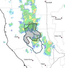
UPDATE 2:30 p.m. — The Lake County Sheriffs Department has also issued a Nixle alert warning of potential flash floods, mudslides and debris flows.
Here is the alert:
The National Weather Service in Sacramento has issued a
* Flash Flood Warning for…
Northwestern Colusa County in central California…
Northern Lake County in central California…
Southwestern Glenn County in central California…* Until 400 PM PDT.
* At 1258 PM PDT, Doppler radar indicated thunderstorms with heavy
rain across portions of the Mendocino Complex burn scar. Flash
flooding with debris flows are likely in the next few hours.Excessive rainfall over the warning area will cause mud slides
near steep terrain. The mud slide can consist of rock, mud,
vegetation and other loose materials.* Some locations that will experience flooding include…
Bartlett Creek, North Fork Cache Creek, Scott Creek, Soap Creek.PRECAUTIONARY/PREPAREDNESS ACTIONS…
Move away from recently burned areas. Life-threatening flooding of
creeks, roads and normally dry arroyos is likely. The heavy rains
will likely trigger rockslides, mudslides and debris flows in steep
terrain, especially in and around these areas.In hilly terrain there are hundreds of low water crossings which are
potentially dangerous in heavy rain. Do not attempt to cross flooded
roads, and seek higher ground.
https://inws.ncep.noaa.gov/a/a.php?i=26382247
 UPDATE 1:55 p.m. — The Mendocino County Sheriff’s Office has issued a Nixle alert, upgrade the flash flood watch to a flash flood warning, a more dangerous situation. Authorities are concerned that areas burned by the Mendocino Complex, especially along State Route 20 east of Ukiah — heavy rains there could result in mudslides and debris flows. Residents and people traveling through the area are urged to monitor conditions and be prepared to leave.
Here is the Nixle alert:
The National Weather Service has issued a Flash Flood Warning for the Mendocino Complex burn scar. The National Weather Service is advising that, “Excessive rainfall over the Mendocino Complex burn scar will result in rock and mudslides and possible debris flows in areas of steep terrain near highway 20 east of Ukiah.”
This means that potential landslides, debris flows, or flooding may be imminent in some areas of the burn scar, especially in the burned areas of the Highway 20 corridor east of Ukiah. Residents are urged to monitor conditions in their area for potential risks to property and life safety and be prepared to leave the area. Residents should watch for potential fast rising flood waters and slope failures along hillsides and be prepared to evacuate the area if necessary.
If residents believe there is an imminent risk to safety or property they are urged to leave the area, move to safe location and call 911. Do not call 911 for non-emergency questions.
ORIGINAL
MENDOCINO CO., 10/03/18 — The National Weather Service in Eureka has issued a flash flood watch, until 7 p.m. tonight, for the burn scar areas of Mendocino and Lake counties. Ongoing rain showers and possible thunderstorms this afternoon could create conditions that would lead to debris flows or flash floods, which is most likely in the areas recently burned by wildfires.
For Mendocino County, this includes portions of Highway 20 along Cold Creek, where the Ranch Fire was active, and also hit by the River Fire. Residents are advised to stay on the alert as conditions may change rapidly and become dangerous. Road and driving conditions may also become more dangerous due to the possible intense rainfall and debris flows, so take caution while traveling.
The flood watch is currently in effect until this evening, but you can check current road closures or the weather forecast for your area at NOAA’s website. You can read the full flood watch warning here.
You can check for current road conditions before heading out at the CalTrans quick map guide or at the California Highway Patrol’s incident page; current weather conditions can be found here. You can also call for road conditions at 1-800-427-7623. More details are below. You can also check the CalTrans District 1 Facebook page and the NWS Eureka Facebook page, as well as the Sheriff’s Facebook page, for more info.
Here is the Facebook post from NWS Eureka:
Here’s the full text of the Nixel alert sent by the Mendocino County Office of Emergency Services concerning the flash flood watch:
The National Weather Service (NWS) has issued a Flash Flood Watch for portions of Mendocino and Lake Counties in the areas of the Mendocino Complex burn scar until 7 PM tonight. The NWS is forecasting that scattered showers and isolated thunderstorms may produce intense rainfall that may cause debris flows and flash flooding in these areas. The NWS is forecasting that the highest risk for potential debris flows in Mendocino County are most likely along Highway 20 in the Cold Creek area.A Flash Flood Watch means that conditions may develop that lead to flash flooding. A Flash Flood Warning means that a flash flood is imminent or occurring and that the public in the warning area should take immediate action. Currently there is no Flash Flood Warnings in affect for the burn scar.If it appears as though the storm system may produce flash flooding or debris flows, the NWS will upgrade the Flash Flood Watch to a Flash Flood Warning and will issue alerts via the Emergency Alert System and Wireless Emergency Alert.Here is the full information on the Flash Flood Watch: https://forecast.weather.gov/wwamap/wwatxtget.php?cwa=eka&wwa=flash%20flood%20watch. Please monitor the NWS Eureka’s website (https://www.weather.gov/eka/) for up to date information.If the public sees any conditions which pose an immediate threat to life safety or property call 911. Please call 911 only for emergencies and not for general public information questions.

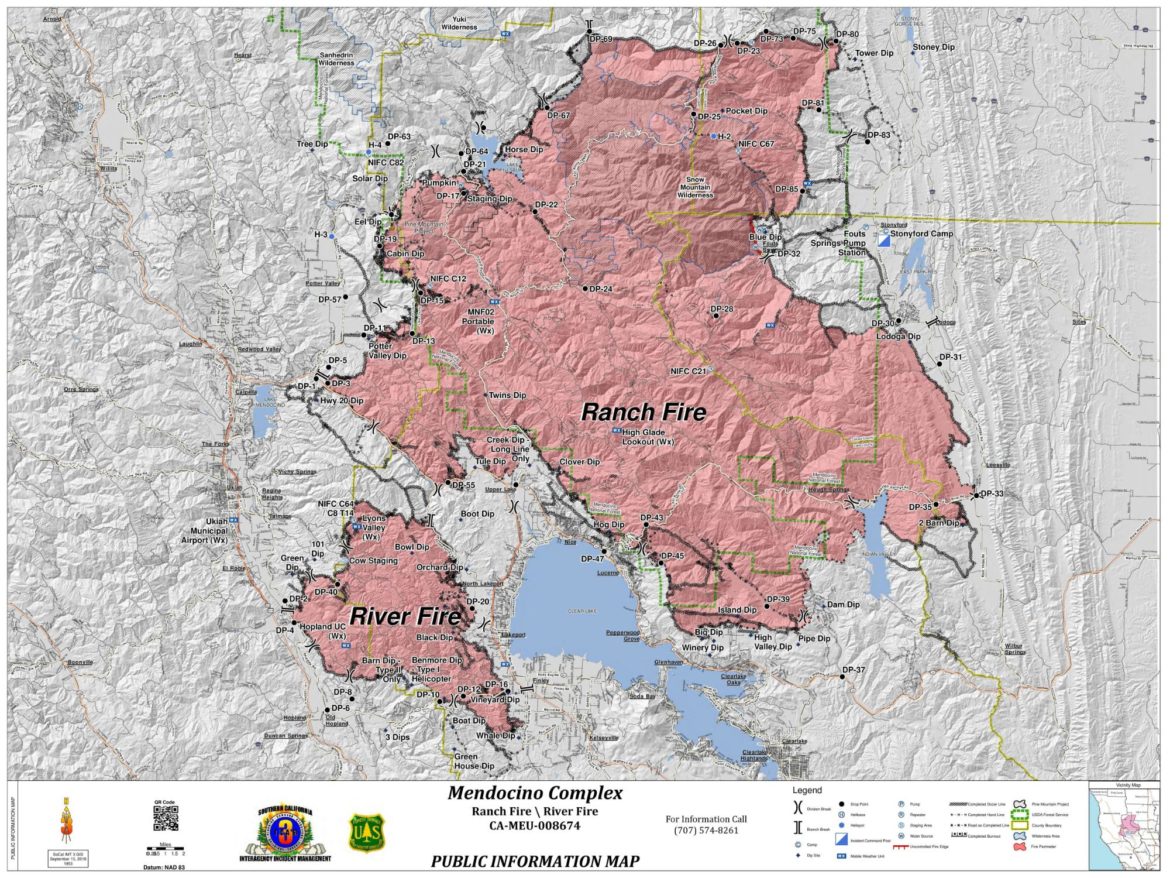
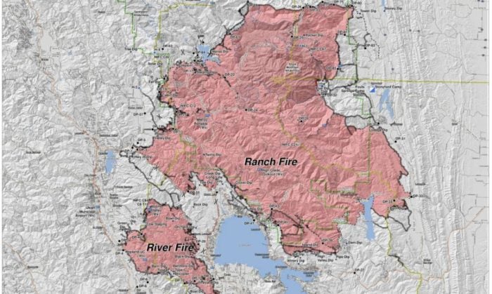
The final map of the Mendocino Complex fire.


I am impressed with this site, really I am a big fan.