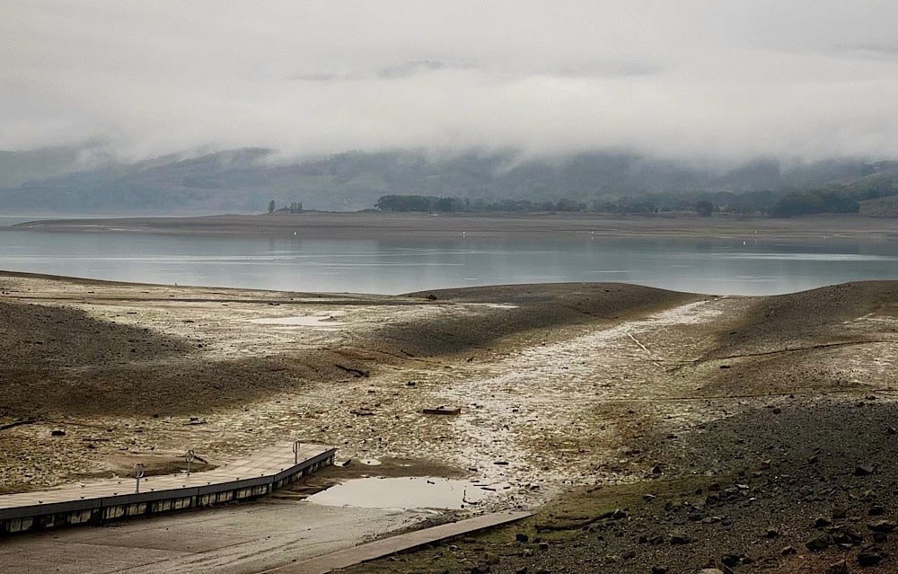
LITTLE RIVER, 1/13/2020 — So far, the 2020 – 2021 rain year hasn’t brought much precipitation to write home about, and according to National Weather Service meteorologists, we shouldn’t get our hopes up for rain in the near future.

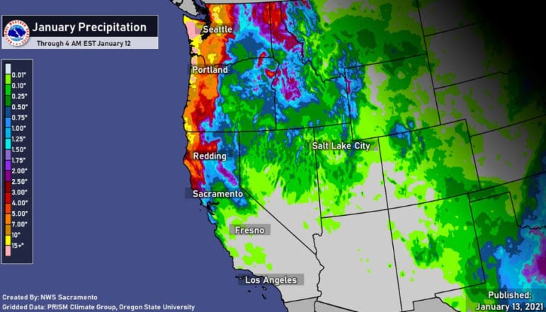
Ukiah has only received 32% of normal precipitation, or 5.74 inches of rain, since the water year began on October 1. That’s very little rain for the city, which averages closer to 17 inches of rain by January 12. Even last (rain) year the city had more water, receiving 8.32 inches by January 12. Things are looking slightly better in Eureka, but it’s not great there either. The coastal city recorded 9.70 inches of rain as of January 12, 50% of normal precipitation. Santa Rosa doesn’t have much to brag about either. They have only received 5.86 inches of rain over the past three months and change, or 34% of what has usually fallen by mid January. Across the board, Northern California is doing better than the southern half of the state, where some areas have seen as little as 2% of normal precipitation.
The Mendocino Voice spoke with Josh Whisnant, meteorologist at the National Weather Service in Eureka, about what precipitation patterns are likely to look like in the near future. He said that overall, things are looking dry.
There is a high pressure ridge sitting over the Pacific Ocean that will stay put till at least the end of the weekend. High pressure ridges bring warm, dry air to the region. Essentially, for precipitation to form, air and moisture must move upward into the atmosphere. Then, the moisture condenses, turns to clouds, and comes down as rain or snow.
High pressure systems push air down towards the surface of the earth, so precipitation can’t form. High pressure ridges settle just off our coast all summer. That’s why it doesn’t rain for the whole season. When high pressure systems settle off the coast in the winter, they stop the rain then too. Whisnant said that winter ridges in themselves are not abnormal, they often arrive after storms, but that this one is particularly strong for the winter season.
Looking slightly farther into the future, the end of January and beginning of February are forecasted to bring even drier, warmer weather. Whisnant said, “The [National Weather Service] Climate Prediction Center shows January 23 to February 25 trending towards below normal precipitation and above normal temperature.” Beyond that, the future is unsure. “Anything past 14 days I wouldn’t put much stock in,” Whisnant said.
Note: Lana Cohen is a Report For America fellow covering the environment & natural resources for TMV & KZYX. Her position is funded by the Community Foundation of Mendocino, Report for America, & our readers. You can support Lana’s work here or email [email protected]. Contact Cohen at LCohen@mendovoice.com. TMV maintains editorial control.


